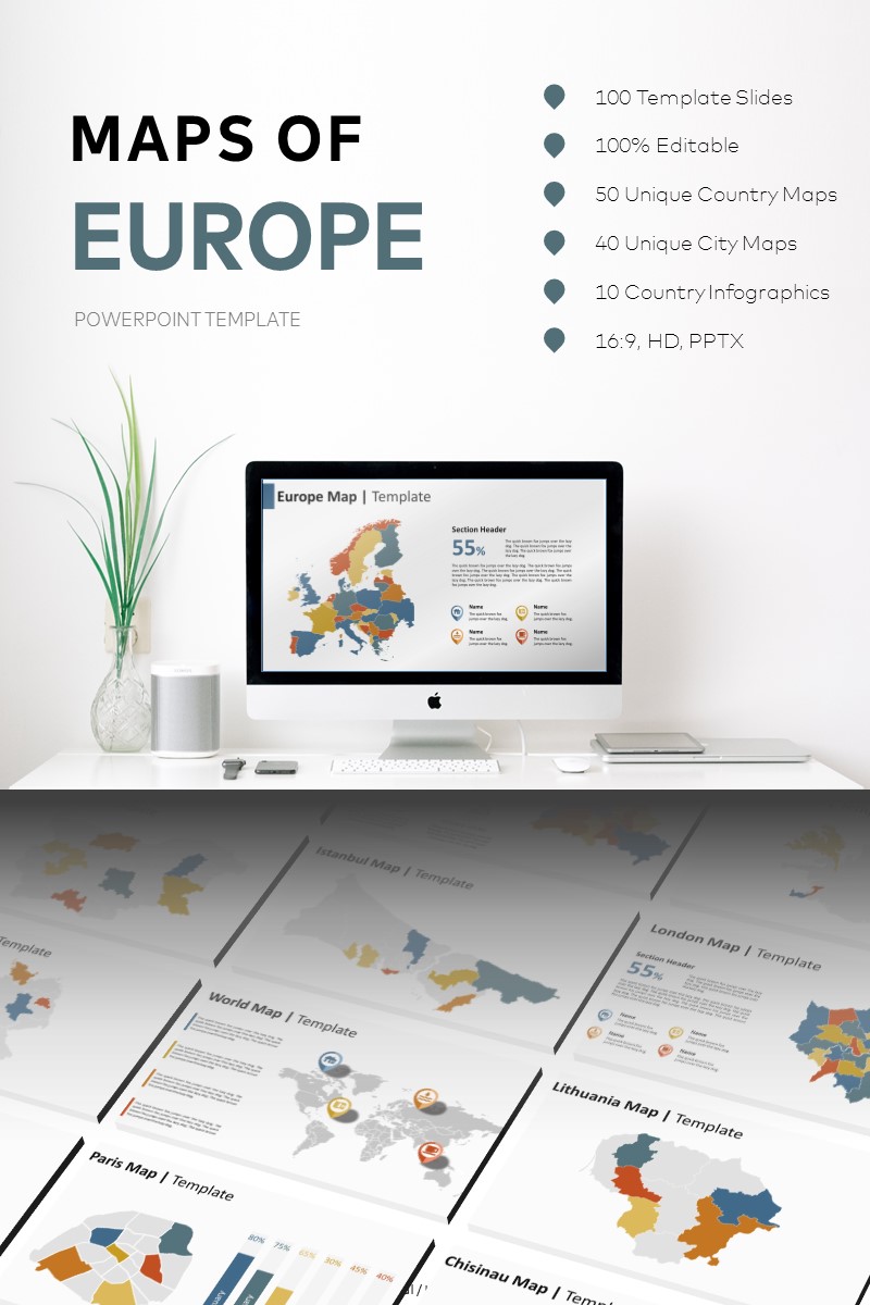
Maps of Europe PowerPoint template


The most complete collection of European maps available. 100 unique country and city map templates including 10 bonus infographic template examples, 50 country maps, and 40 city maps. All maps are composed of individual shape files and are fully editable and customisable. Maps are divided by county/local jurisdiction.
- 100 template slides
- 100% editable
- 50 unique country maps
- 40 unique city maps
- 10 country infographics
- Support documentation
- 16:9, HD, PPTX
Country maps include:
Albania, Andorra, Austria, Azerbaijan, Belarus, Belgium, Bosnia and Herzegovina, Bulgaria, Croatia, Cyprus, Czech Republic, Denmark, Estonia, Finland, France, Georgia, Germany, Greece, Greenland, Hungary, Iceland, Republic of Ireland, Italy, Latvia, Liechtenstein, Lithuania, Luxembourg, Macedonia, Malta, Moldova, Monaco, Montenegro, Netherlands, Norway, Poland, Portugal, Romania, Russia, San Marino, Serbia, Slovakia, Slovenia, Spain, Sweden, Switzerland, Turkey, Ukraine, United Kingdom, Scotland, Wales, Northern Ireland
City maps include:
Tirana, Vienna, Minsk, Brussels, Sofia, Zagreb, Nicosia, Prague, Tallinn, Helsinki, Paris, Tbilisi, Berlin, Athens, Budapest, Dublin, Latvia
Riga, Luxembourg City, Skopje, Moldova
Chisinau, Amsterdam, Oslo, Warsaw, Lisbon, Bucharest, Moscow, Belgrade, Bratislava, Ljubljana, Madrid, Stockholm, Istanbul, Kiev, London, Edinburgh, Cardiff, Belfast